

IDENTIFY CROPS IN ANY PADDOCK, ANYWHERE
Imagine if you were able to visually identify what crops or pastures are growing where – without having to walk the fields, charter a plane or fly a drone.
That technology is now possible, and is being integrated into the DAS Rural Intelligence Platform™.
The resulting innovation? Being able to link location – the power of place – with what’s actually growing - whether that’s by region, property or even individual paddock.
Using global satellite remote sensing technology, Crop ID is just one example of how satellite imagery, in combination with geospatial analytics, can deliver fast and improved access to critical intelligence for decision making.
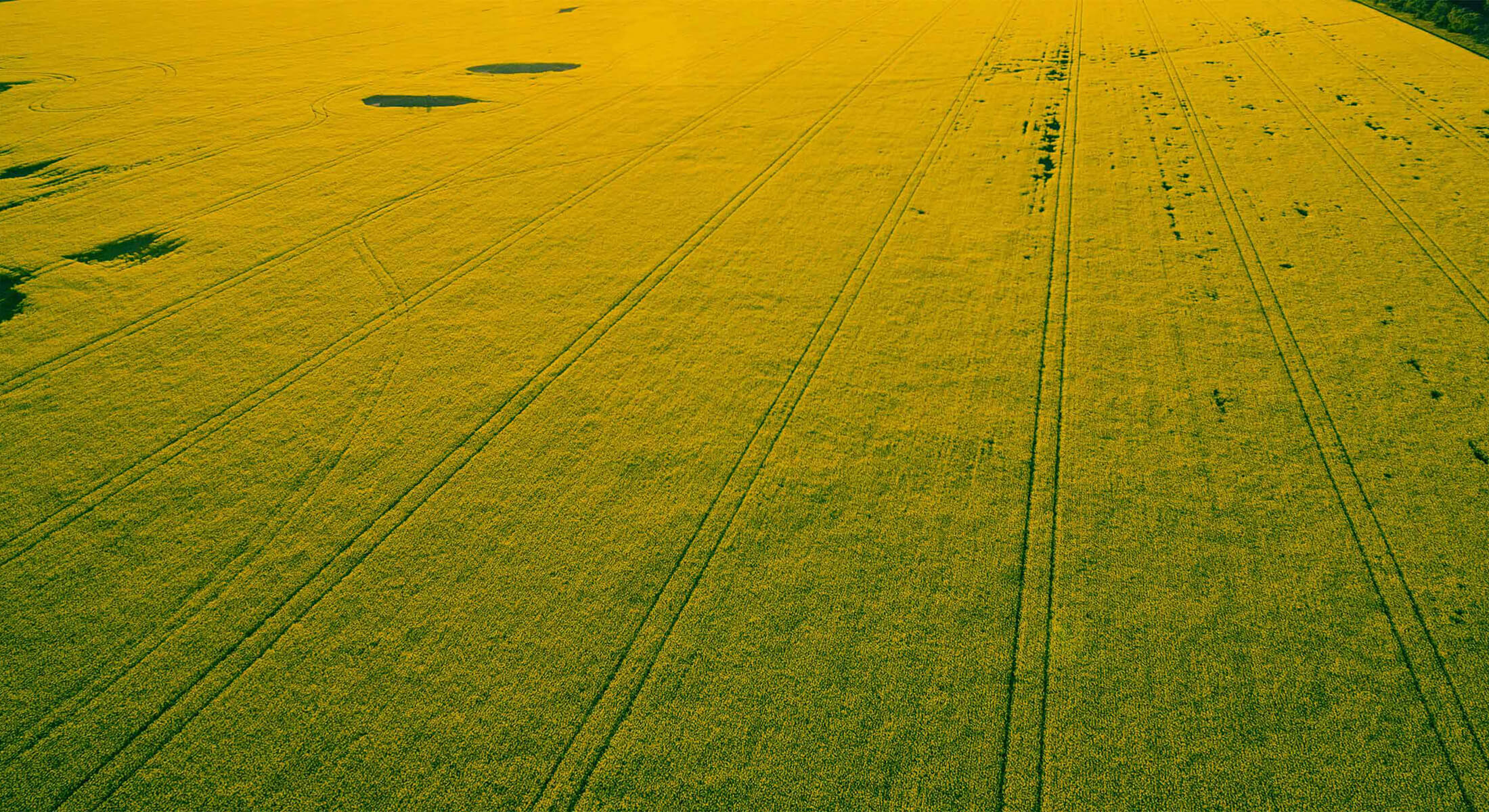
Crop ID is currently being used to generate land use maps for rural Australia – assessing and classifying land use in a variety of maps that make analysis easy and simple.
DAS land use maps account for a much wider variety of land uses, as well as increased distinction between crop and vegetation varieties – for instance, wheat versus barley. At least 17 different crop species can be identified.
The crop and vegetation identification system represents unique CSIRO digital agriculture innovation that’s been tested with 75 per cent accuracy – a rate that’s likely to improve as the technology itself improves.
Stay in the loop
Follow DAS on LinkedIn for news and updates related to our products, or subscribe to receive our Quarterly Digest newsletter.