
We are very excited to be kicking off 2022 with a new product launch.
The why: It sounds unbelievable, but DAS estimates that more than 50% of the addresses that our clients have on file are incorrect, and almost no one has accurate property boundaries.
Until you get your location based information right, you can’t even consider integrating or overlaying that data with climate risk, productivity or sustainability insight – what we call “putting science into the hands of decision makers”.
Stats like that are what makes us tick. So, in true DAS style, we got to work developing a product that answered that gave customers an integrated view of their data. Enter Locate.
The what: What Locate offers is industry-leading, seamless CRM integration, giving teams the ability to locate their customers and extend their customer data with DAS’ geospatial data. It is an overarching product with three modular, interconnected integration options to choose from:
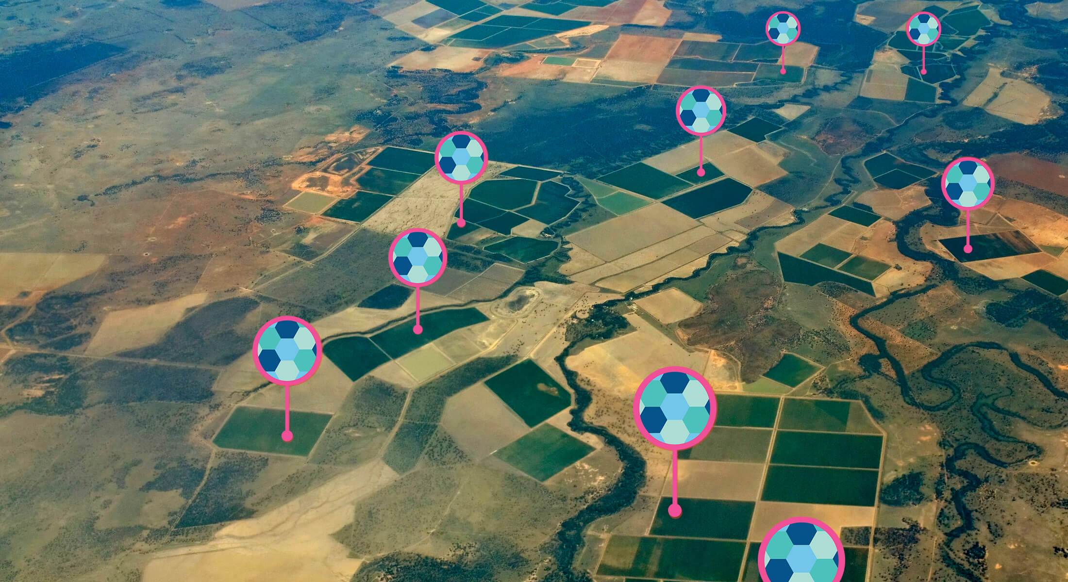
1. Map: Upload and geospatially map hundreds of customer farms with a click of a button
2. Extend: See DAS maps and geospatial data in your CRM
3. Embed: Allow teams or customers to precisely map rural location boundaries within your own systems or customer portals
The so what: The result is a tool to get to know your farming or agri customers and prospects better. By locating your customers, and combining traditional CRM systems and geolocated DAS data, you are guaranteed business focus, a competitive edge in identifying market opportunities, and better account management.
No more shapefiles to download from one system to another. No more data silos. Just intuitive decision-making and data that’s effectively integrated with your own data and decision-making.
We think this is a game-changing tool for teams and enterprises alike, creating powerful integrations between DAS and the tools you rely on daily.
Interested to know more? Click here